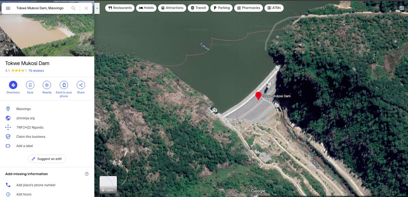
To most people, ZINWA is the shadowy authority that regularly bills them even though, technically speaking, it’s local councils that provide you with running water. The Zimbabwe National Water Authority is much more than that though, by law they are in charge of managing all the water resources within Zimbabwe including canals, dams, rivers, aquifers and reservoirs.
This means if you want to drill a borehole at your place you need to talk to them. As well as if you intend on damming a river or establish an irrigation scheme. Few people know this and fewer still actually engage them as the law requires. When you get in touch with them they draw up an agreement with you regarding how much water you can use, for what purpose and how much in fees you need to pay them.
As I have said few people bother with this bureaucracy. It’s even worse in rural areas where people just buy pumps and pipes and start draining rivers without engaging ZINWA. This leads to lost revenue to the government, downstream water shortages and sometimes the people authorised to use the water end up being billed for water they didn’t use.
ZINWA has a solution?
According to state media, ZINWA now thinks they have a solution. In a report by The Chronicle, the water authorities are going to be using satellite images to spot water pirates and fine them.
“Zinwa is starting this winter cropping season to use the Geographical Information System (GIS) to monitor raw water abstractions along rivers and the actual irrigation done at farms. This will curb illegal water extraction and ensure that holders of water abstraction agreements, comply with their conditions.”
Information supplied by ZINWA corporate communications and marketing manager, Mrs Marjorie Munyonga to the Chronicle.
This is where things start to get a little hazy. A GIS is defined as a framework that provides the ability to capture and analyze spatial and geographic data. This definition is a little vague and covers human-powered as well as powerful AI-driven systems such as those employed by the United States’s DEA to combat the agricultural activities of narcos in South America.
We don’t know the exact specs of ZINWA’s specifications. The Zimbabwean government and its agencies have a penchant for exaggerating things and I would be surprised if the much-touted “GIS” is nothing more than a group of individuals sitting on a giant table reading Google Maps printouts.
It’s important to understand that while it’s true that satellite images can potentially easily identify irrigation schemes this would be half the story. ZINWA would need a way to process all these maps. There are no doubt thousands or even hundreds of thousands of these little pirate water schemes out there. Identifying them would be a feat that would challenge even the US’s famed DEA systems let alone a couple of government bureaucrats on a table.
In any case it’s always heart warming to see the government warming up to tech in agriculture.
You should also check out
Staying on the point of local authorities. The City of Harare a little while ago went on a bit of a tweetstorm telling Hararians that they need a bicycle, dog licence and that civilians are prohibited from directing traffic at intersections with dead robots. We, of course, had to weigh in because the local authority went on a rant without addressing the major issues like waste collection, fixing traffic lights and many others. You can listen to or download the podcast with the link below.

What’s your take?