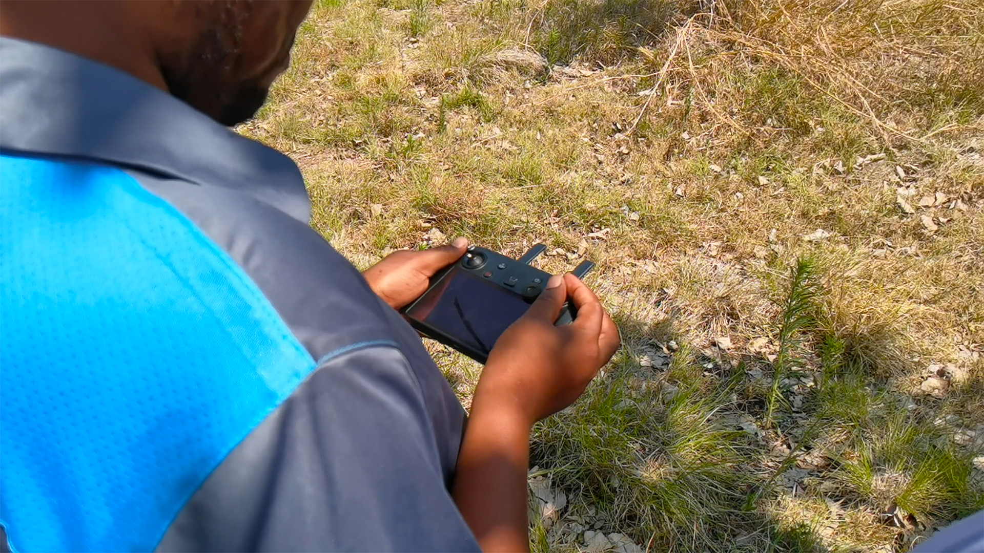
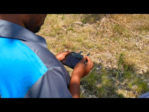
In November 2021, the Civil Protection Unit (CPU) acquired 18 DJI Mavic 2 Enterprise Dual drones, through the UNDP. The aim is to manage and monitor areas in Zimbabwe that are prone to natural disasters like floods, and cyclones. Operators from the organization successfully completed their Civil Aviation Authority of Zimbabwe (CAAZ) Remote Pilot Licence (RPL) and have taken their preparations a step further by contracting CAAZ-certified Precision Drone Training to deepen their knowledge about Disaster Management with the use of remotely piloted aircraft.
Industry-specific advanced training courses. What are they?
The course, which falls under Precision Drone Training’s Industry Specific Curriculum, aims to enhance the skills that the Civil Protection Unit’s pilots learned in their RPL certification. On top of that, the CPU’s pilots will learn the fundamentals of:
- Effective operation of their DJI Mavic 2 Enterprise Dual drones
- The importance of mission planning and preflight checklists assuring successful operations.
- Responsibilities they have not only to the mission but to the airspace and other aircraft that will be operating in and around it.
- Autonomous flight operations when mapping areas that have been struck by disaster.
- Software used to map and process images collected.
- Ways of productive collaboration with emergency services, communities, local authorities, sister agencies, and other stakeholders in disaster response missions
Advanced training course process
The advanced training is split into two sections over a four-day period, starting off with theory and then progressing to practical training. After undergoing Precision Drone Training’s Industry Specific Course, the Civil Protection Unit and its pilots will more effectively be able to conduct disaster management exercises to aid emergency response teams in clearing things like power lines that may have fallen and obstacles that would restrict the movement of first responders.
More importantly, the Civil Protection Unit will now be able to provide a valuable aerial vantage point from which the areas affected by a disaster can be monitored to save lives. The data that the drones collect will also help the government and local authorities with post-disaster measures and reconstruction.
9 comments
Hoo
This sounds like a sponsored piece, something you’d expect to read on the PDT website.
Anyways, it’s ironic though that the CPU and/or government, refused free assistance from a drone company, post cyclone Idai, to help in mapping and searches. Hopefully, their training will benefit our citizenry and it’s not just being done because UNDP is sponsoring.
I won’t be shocked if our military doesn’t have a single drone.
The government should encourage farmers , security forces and councils to use drones coz it will be easy to manage things like deforestation and land degradation.
If that satellite we are launching isn’t vapourware, this is the kind of data it should be collecting.
For the profitable farms success of widespread adoption of drones depends on the track record of use of drones in farming. If the companies offering drones and services using drones are overselling the benefits the are not be realized by the farmers, then the poor track record will dissuade farmers from adopting drone technology in their operations. So for the viable farms it could be a matter of wait and see attitude and not wanting to take the risk of yet to be proven claims of benifits in their own environment and not from case studies from abroad.
For the other farmers the case of justifying use of drone technology is still a pie in the sky. Those farmers have would place more priority and preference for more well-proven alternative technologies. The push for drone technology is coming from new start-ups and the technology itself is new, so there no urgency for the farmers or the government to rush into the drone technology wave. The government already has a deficit in delivering services and providing aid in well-proven alternative technologies.
Until the benefits of benefits of drone technology are well-proven to be magnitudes better than alternative technologies, drone use in farming and other industries will remain a research curiosity or an opportunity to experiment for a few who can take financial risks. The few with financial ability can put to test the claims of the benefits of using drones compared to the alternatives. The success of these experiences will dictate the way forward. Failure in implementing drones as alternative can be a huge setback for the technology in Zimbabwe. What is missing are the hard figures to show that drones are superior to to the alternatives. Right now we are seeing only promises without proof that they are easily achieved. The execution is still up in the air.
What’s up? Where are the new articles? Magetsi aenda kuno kuMasvingo apa phone yangu iri pa 11% and I have an exam tomorrow. How tf am I supposed to study with the notes in my phone?
I hear the fees are exorbitant for the RPL licence….and its sponsored By UNDP
The costs add up to a lot. I don’t know if Zimbabwe has those insurance coverage which you buy by the hour and are some of the most affordable. (There are are American and British Insurance companies offering the insurance coverage for Nort America and Britain. For other countries I countries I think they say contact us)