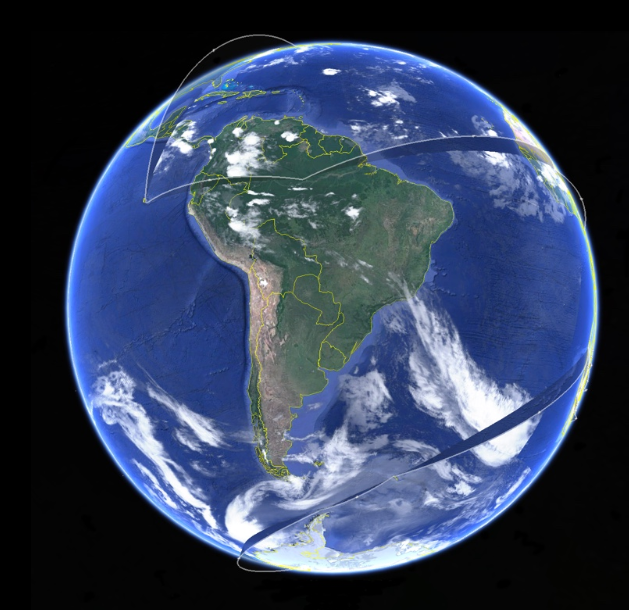
For those less familiar with Google Earth, it’s a program that uses various geographical data to create a 3D representation of the globe. By zooming in, users can see birds-eye satellite images of well, almost anywhere. This programme has received a new feature which allows users to measure the distance between two points on Earth and also map an area.
Google Earth’s new mapping feature is called Measure Tool, and it is now available on Chrome and the Google Earth app for Android. As per Google’s official blog post, Measure Tool is one of the most demanded features and will soon make its way to the Google Earth app on iOS too.
With the help of this tool, users can measure the distance between any two points on the selected area of the map. They can check out the distance between their house and a restaurant for instance. Or check the perimeter and area of a stadium, a city, a region and a state.
Measuring the distance on the mobile phone vs desktop
In my testing, I found that the feature works much better on the web compared to the Android app due to some navigation issues. I also discovered that the Measure Tool cannot be used on Google Earth’s web client once you enter the Street View mode.
This is a great addition by Google as it enables researchers, educators, and travelers to better explore the world from home. The measurement feature gives users a more accurate information and sense of location and space.
2 comments
I could do this last year using the same platform. Is it that you have just found out now or you copied and pasted an article from the past? I don’t get what this article is trying to point at…
Nothing new here, been using the measure tool like four month back to help subdivide a farm into paddocks using the opera browser