Finally, ZimSat-1, Zimbabwe’s first orbiting satellite has made it to space! Yesterday, Sunday 6 November, ZimSat-1 was set to launch into space amongst other payloads. However, a complication before the launch caused by a fire alarm resulted in the launch being postponed to Monday 7 November at 12.27 am.
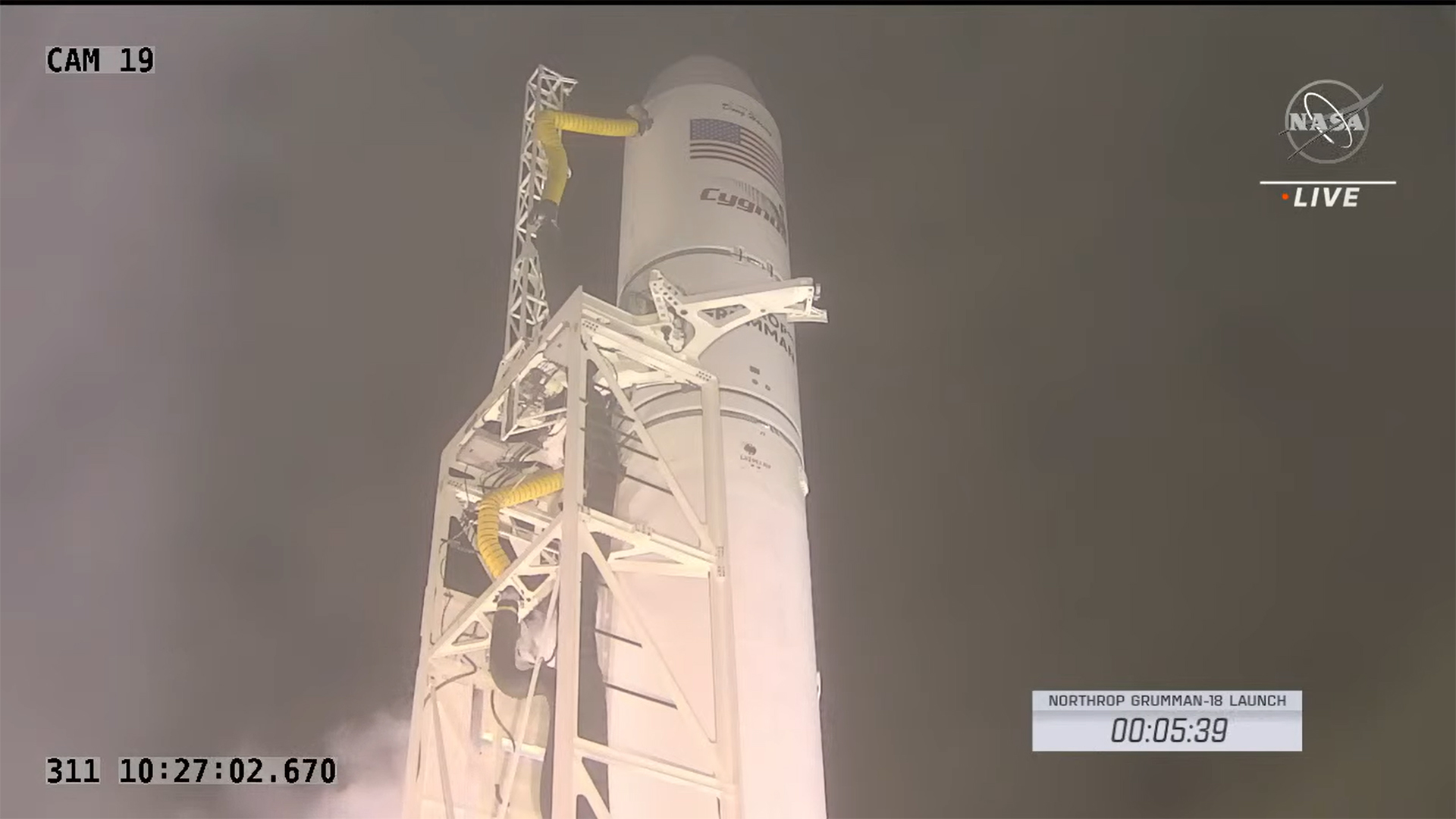
Today’s launch attempt of Northrop Grumman’s Antares rocket and Cygnus cargo spacecraft from NASA’s Wallops Flight Facility on Virginia’s Eastern Shore has been postponed. The launch was scrubbed due to a fire alarm at Northrop Grumman’s Cygnus spacecraft control center in Dulles, Virginia.
NASA
The Cygnus spacecraft and Antares rocket remain healthy at the Wallops launch site.
NASA also states that today’s weather is 70% favorable for launching the spacecraft. They also state that there is only a 5-minute window available for the launch which should begin at 5.27 am EST or 12.27 pm Zimbabwean time. You can watch the live stream by clicking here.
The next launch attempt will be Monday, Nov. 7, in a five-minute window that opens at 5:27 a.m. EST. Weather for that window is currently forecast as 70% favorable: High pressure looks to continue to provide tranquil weather to the Mid-Atlantic before breezy conditions impact the Wallops area Tuesday.
NASA
What kind of satellite is it anyway?
Zimbabwe’s part of the payload on Northrop Grumman’s Antares rocket is a 1U CubeSat portable satellite that was co-developed with Japan. This satellite is modular with the smallest module or smallest functional system being a cube that is 1U (1 unit) in size hence the name. IT guys, sounds familiar right? Server rack space and such.
The sensor equipped on the satellite is a camera that will be used to gather visual and spectral data on the surface conditions of the area being observed. Processing of this data from the camera sensor as well as other features of the satellite like communication and management of the satellite in orbit will be handled by 3 Raspberry Pi boards.
Data gathered & processed by ZimSat-1
Land Use and Cover
BIRDS 5 Project
The satellite images taken by multispectral camera made by BIRDS 5 members with a spatial resolution of 100m shall be used to investigate land Use and cover such as crop health, soil adjusted vegetation index, cultivated area and leaf chlorophyll index using NDVI Images.
Soil Fertility
Moreover, the multispectral camera shall be used to capture images of the member countries. The images shall facilitate analysis of the nitrogen/fertility level of soil using GIS software.
Water Quality Assessment
Satellite images of dams and lakes captured by a BIRDS 5 made multispectral camera shall be used as a demonstration of water quality assessment using 1U satellite with spatial resolution of 100m
This has a multi-sectoral camera which has a remote standing camera which we are going to use primarily for agricultural application, crop yield estimation, land cover and land use. We can see our forestry and the change over time because it has what we call a store and forward mission as part of the pilot which we are going to use together with the ground centre terminal.
Painos Gweme – ZINGSA coordinator
The bigger picture. BIRD 5 Project
The BIRDS Project is one set up to allow enable countries without space agencies and orbiting satellites to be able to do so primarily for their first satellite. As for the BIRD 5 Project, it is the 5th edition which is now primarily catering to Zimbabwe and Uganda’s first satellites.
BIRDS Project Overall Mission Statement
BIRD 5 Project
Make the first step towards creating an indigenous space program by designing, building, testing, launching and operating, the first satellites for participating nations.
BIRDS 5 Mission Statement
Build Uganda and Zimbabwe’s first satellite while improving the standardized bus system for future missions, giving continuity to the satellite development of Japan and previous missions from BIRDS-1,2,3 and 4.
Primary Objective(s)
To design, build, test, launch and operate Uganda and Zimbabwe’s first satellite
The project also has an Android app called BIRDSNEST available on Google play. It shows some photos of the progress they have made since the BIRDS 1 project and some other details like tracking the satellites, CAD models of the satellite you will have selected in tracking, and system data on the satellite like battery voltage, solar panel temps and which side of the earth the satellite is operating from (Day or Night).
Is this not VERY expensive?
Zimbabwe’s satellite is part of a larger payload consisting of some supplies going to the International Space Station (ISS) and other CubeSats. Two 1U CubeSats (Zimbabwe & Uganda) and one 2U CubeSat belonging to Japan.
So it’s not like Zimbabwe has a rocket they sent into space but rather it and the other 2 countries just hitched a ride on a NASA rocket already heading in the same direction. This same direction is the ISS where the Japanese (JAXA) KIBO module is located. This KIBO station is where the CubeSats will be deployed from including ZimSat-1
What’s your take?